Sunday, June 19, 2011

Day 10: Living History Day Collier State Park

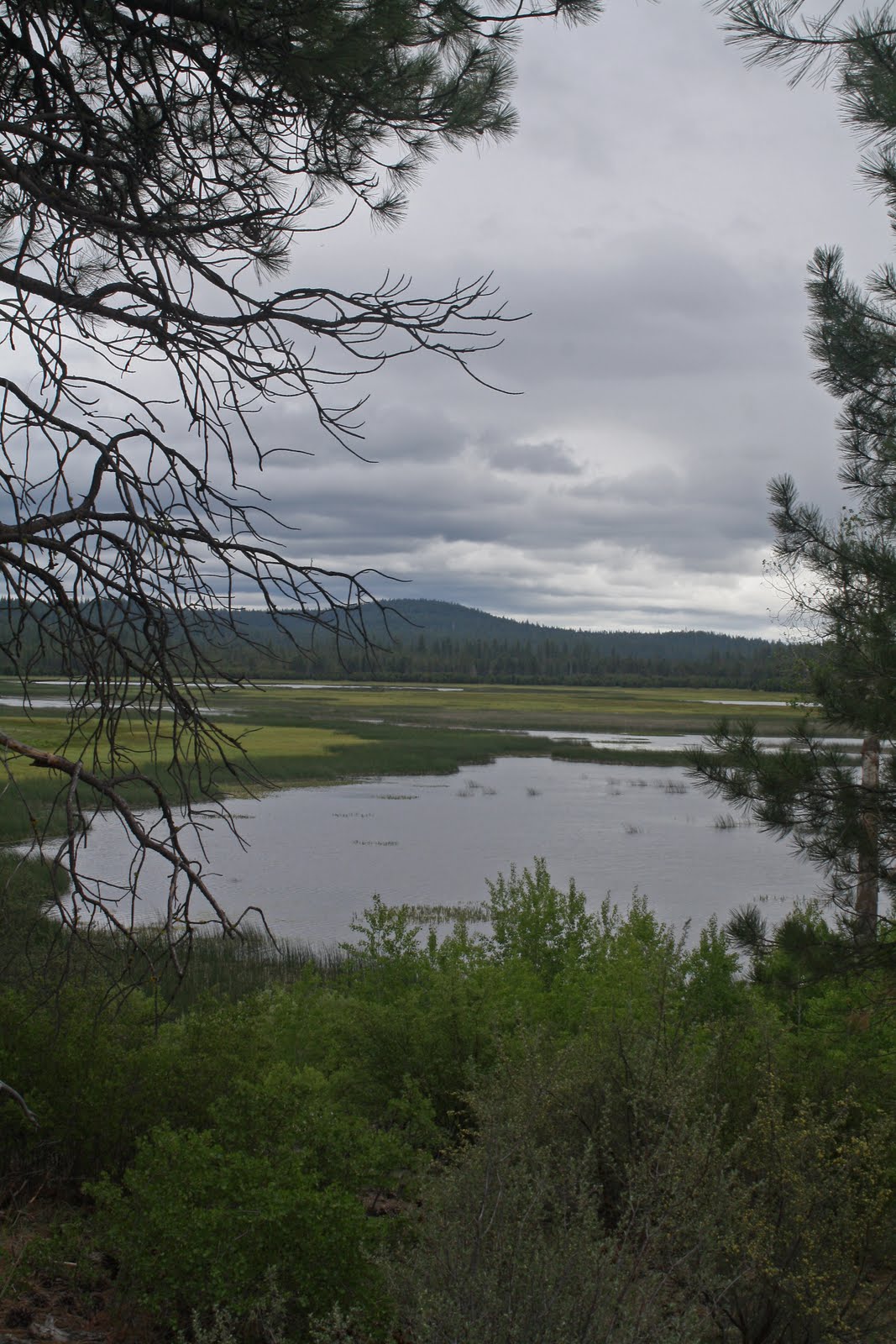
Today, the last day before I go back to school, Melissa took me to Living History Day at Collier Park. Outside of Crater Lake National Park, this is probably the most 'famous' place in this area. This is a big event with people dressing in period costumes to celebrate to logging past. Below is a photo of Spring Creek which runs through the park before slamming into the Williamson River.


Below is a 1912 steam engine that was used to haul logs. "It's even older than you Dad!" Thanks Hannah ....


Hannah getting cozy with a beaver. This is Oregon after all!


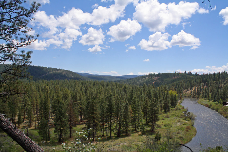
One more shot of Spring Creek. It was a fun day. Now to begin thinking about school ...


Saturday, June 18, 2011

Day 9: Klamath Marsh National Wildlife Refuge


This wasn't the best of days out taking pictures and all; factor in I'm getting physically tired after nine straight days of hiking around .... But this afternoon I packed up Charlie dog and out we went to the Klamath Marsh Refuge.


The pictures above and below is of the Refuge. Even with the clouds and wind the birds were out all over the place! I even found a cool camping spot I must check out further another day!


On the way home we passed through Wilson Flat, A great name for a place I must say. ;-) Just one day left until school starts back up ... A trip to Collier for Fathers Day is in order, thanks to Melissa and Hannah.

Friday, June 17, 2011

Day 8: Back to the Gorge

The Williamson River Gorge is a favorite place of mine and this was my first trip in there for the year. It was a great morning for a hike; bright and sunny with calm winds for those reflection shots! The picture below is of a favorite stopping point around the first bend.


There are several strange rock formations such as the one below in the canyon.


This picture I threw in for fun. Since I usually get out with crazy Charlie dog, I don't often get to take pictures of things that fly. Here is a rare exception, although from a distance.

Day 7: Fort Creek

Today we took a short jaunt to Fort Creek. Another one of those 'only locals know about' getaway. The lighting was a bit harsh for taking pictures but I gave it a shot anyway.


Below is looking down the creek as it makes its way to the Wood River, then Agency lake. Above is Reservation Spring which is the source of the creek. Crystal clear water bubbles up, and around it as the creek pretty much just flows out of the mountain.


I don't know the name of theses flowers but the pop up here and there especially in drier places. I wouldn't know why a person can't help themselves not to smile when they see them!

Thursday, June 16, 2011

Day 6: Modoc Rim


The adventure this time was to take a rutted out dirt road through woods and meadows to Modoc Rim which overlooks Klamath Lake on the East high above Highway 97. I could see someone went ahead of me and they got stuck in the mud twice. The second time they were stuck so bad I decided to park the Zuzu and walk the rest of the way about a mile or so. When I finally got there, lo and behold I saw a mud caked Marty the mailman and a friend! Naturally we all wondered why each of us were up there in that extremely remote area! It goes to show that you just never know who you might meet and where!

The picture above is the view from the Rim looking southwest towards Modoc Point. The one below was shot looking directly west at Mt. McLoughlin and the Oregon Cascades.


Which way to go? These decisions come up all the time out here, although this time the decision was made for me soon, as the road to the right led directly into an springtime swamp. Tomorrow I think I'll take an easier trip ... However, that "Whats down that road?" question constantly comes up ...

Wednesday, June 15, 2011

Day 5: Agency Hill

Today we decided to go a different direction, Agency Hill by way of Spring Creek.


Above is Spring Creek which comes bubbling straight out of the mountain. Its crystal clear waters stay at a constant 38 degrees! We came by here to scout out camping spots for later this summer. It is a tragedy what has been done to the campground here with the thinning of trees left all over the place and what looks like zero maintenance. However, over time it looks like the people who visit are cleaning the place up little by little and this is a great place to camp and get away from it all!


Here is the view from the top of Agency Hill. There used to be a fire lookout up here but it has since been torn town and the road to this place can be a little rough going. But as you can see, well worth it! In the distance is Mt. Shasta and Klamath Lake, with aptly named Crooked Creek below. There are plenty of ceders up here which give the forest a wonderful aroma to walk around in to enjoy the views.

Tuesday, June 14, 2011

Day 4: Telephone Flat

Yesterdays Spring rain came and went last night, but the wind was up a notch today. I packed up Charlie the hound and we went to a favorite spot, Telephone flat. Why it is called Telephone flat is a mystery to me as there is not a pole in sight! In fact my cell phone couldn't get reception up there!


The three pictures above is of the flat which is covered in wildflowers this time of year, and luckily no mosquitoes! The lower photo is of the tree Charlie and I took a break under after some serious stomping around in the creek and through the meadow and woods.


The last photo is of what my older kids and I called "frog pond", which as you can see is flooded. For some reason very large bullfrogs live in this area on top of a mountain, so a return visit is in order later on.

The adventure continues ....

Monday, June 13, 2011

Day 3: Chiloquin Backroads

A storm was to be coming in the evening so off we went a little bit earlier and sticking close to home. First off was a stop off was a stop along the Sprague River near the local "swimming hole" which is pictured above.


Ah yes, my kind of roads pictured above. A generic woodsy shot! lol


Eventually we made it by an extremely strange route, trying to get lost, to something on the map named "Lobert Draw," which is in the next two shots, I tried to go further, but a massive mud puddle blocked the way. I wanted so bad to charge the Zuzu through it, but decided against it after pondering for twenty minutes. The heart attack was only a couple of years ago and a long walk out wasn't yet in the cards! Maybe next time ....


Sunday, June 12, 2011

Day 2: The Meadow


Day two of the backroading by town/photography binge. Taking Hannah along for the ride,we headed out to some unnamed meadows about ten miles away. Vrrooooom Kersplash!


Some yellow flowers nearby a snow melt creek.


Wildflowers in "The Meadow" in all its glory.


Hannah lifting weights with a pair of "dinosaur bones" we found along the way.

Saturday, June 11, 2011

Up Around The Bend


Since college is out between terms for ten days, I'm off on a picture taking and hiking binge within twenty miles of town where I live. So, for each of the ten days I'll post my favorite from that day. This first shot is of the Sprague River and Winema National Forest from near the Sprague River Hwy. about five miles away.